
When National Oceanic and Atmospheric Administration released its latest outlook for the upcoming Atlantic hurricane season, the message was surprisingly calm. For a region that typically braces for chaos between June and November, NOAA is forecasting a "milder" year. The reason? A developing climate pattern known as El Niño is expected to act as a natural brake on storm formation.
The 2026 Atlantic hurricane season officially kicks off on June 1, 2026. But the atmospheric conditions shaping those months are already taking shape across the Pacific Ocean. According to recent data from the agency’s Climate Prediction Center, there is an 82% chance that El Niño will emerge between May and July 2026. Even more telling, forecasters see a 96% probability that these conditions will persist through the Northern Hemisphere winter of 2026–27.
The Science Behind the Calm
Here’s the thing about El Niño: it doesn’t just warm up the water; it rearranges the entire atmosphere. During this phase of the El Niño–Southern Oscillation (ENSO), trade winds weaken, pushing warm water eastward toward the Americas. This shift alters the jet stream, often bringing wetter conditions to the U.S. Gulf Coast and Southeast while leaving the northern states drier and warmer.
But for hurricanes, the real story is in the upper atmosphere. As the National Weather Service explains, El Niño generates increased vertical wind shear over the Atlantic. Think of wind shear like a pair of scissors cutting through a candle flame. Strong upper-level winds tear apart developing tropical storms before they can organize into powerful hurricanes. Historically, El Niño years have seen significantly reduced Atlantic hurricane activity compared to neutral or La Niña years.
In contrast, La Niña—the cool phase of ENSO—typically suppresses wind shear, allowing storms to thrive. That’s why La Niña years are often associated with more severe hurricane seasons. With El Niño likely dominating the 2026 calendar, meteorologists expect the opposite effect.
Regional Impacts Beyond Hurricanes
While a quieter hurricane season might sound like good news for coastal residents, El Niño brings its own set of challenges. The weather patterns don’t disappear; they just shift.
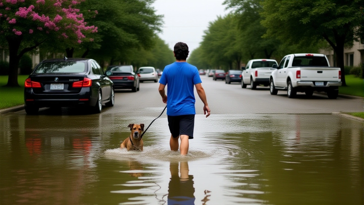
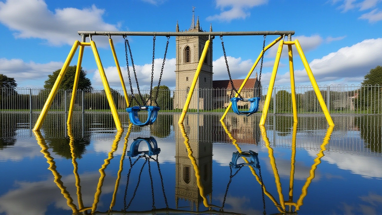
For the southeastern United States, particularly Florida, El Niño usually means above-average precipitation during fall, winter, and spring. This increases the risk of flooding but reduces wildfire danger. In the Pacific Northwest, including Idaho, Oregon, and Washington, the pattern typically leads to warmer and drier falls and winters. Meanwhile, the southern U.S. may face drought conditions, while the Pacific Northwest could see heavy rains.
Interestingly, tornado activity tells a different story. Data from NOAA’s Storm Data (1950–2009) shows that El Niño years average around 15 tornadoes per year in certain regions—nearly twice the number seen during neutral or La Niña years. So, while big hurricanes might be less frequent, other severe weather threats remain very much alive.
Historical Context and Expert Analysis
El Niño isn’t a new phenomenon. It’s a naturally occurring cycle that occurs every two to seven years, though not on a strict schedule. NASA describes it as "the largest natural disruption to the Earth system," highlighting its global reach. Episodes typically last nine to 12 months, though strong events can linger longer.
The current forecast aligns with historical trends. When the Climate Prediction Center declared an El Niño pattern in early June 2023, it predicted a 95% chance of continuation through the following winter. This time around, the probabilities are similarly high, giving scientists confidence in their seasonal outlooks.
However, forecasts are never guarantees. Climate models are tools, not crystal balls. As NOAA notes, without strong ENSO patterns, predicting seasonal shifts becomes harder. But with an 82% chance of El Niño emerging by mid-2026, the odds are stacked against a hyper-active hurricane season.
What This Means for You
If you live along the Atlantic coast, this forecast offers some relief. Fewer hurricanes mean lower risks of catastrophic storm surges and widespread damage. But don’t let your guard down completely. Tropical depressions and weaker storms can still bring heavy rain and flooding, especially if they stall over land.
For farmers and emergency planners, the shift in rainfall patterns matters just as much. Wetters springs in the South and drier winters in the Northwest require adjusted strategies for crop management and fire prevention. Understanding these nuances helps communities prepare more effectively.
Frequently Asked Questions
Why does El Niño reduce hurricane activity?
El Niño increases vertical wind shear over the Atlantic Ocean. Wind shear refers to changes in wind speed or direction with height. High shear disrupts the structure of tropical storms, preventing them from organizing into stronger hurricanes. Essentially, the winds tear the storms apart before they can intensify.
When does the 2026 Atlantic hurricane season start?
The official Atlantic hurricane season begins on June 1, 2026, and runs through November 30, 2026. However, tropical activity can occur outside these dates. NOAA’s forecast suggests that El Niño conditions will likely be present during the peak months, influencing storm behavior throughout the season.
How confident are scientists in this forecast?
The Climate Prediction Center estimates an 82% chance that El Niño will emerge between May and July 2026. Furthermore, there is a 96% probability that El Niño will persist through the winter of 2026–27. These high percentages indicate strong consensus among climate models, making the forecast relatively reliable compared to previous years.
What are the local weather impacts of El Niño?
Impacts vary by region. The U.S. Gulf Coast and Southeast typically experience wetter-than-average conditions with increased flooding risks. The Pacific Northwest often sees warmer and drier falls and winters. Conversely, the southern U.S. may face drought, while tornado activity in some areas can increase, averaging nearly double the normal rate during El Niño years.
Is El Niño bad for everyone?
Not necessarily. While it brings flooding risks to some areas, it reduces wildfire dangers in places like Florida due to higher precipitation. It also tends to suppress Atlantic hurricane activity, which benefits coastal communities prone to storm damage. However, it can cause agricultural challenges in drought-prone regions and disrupt marine ecosystems globally.